
Behind the storm comes the deep freeze. The Polar Vortex – a vast area of cold air high up in the atmosphere normally spinning over the North Pole – descending from the Arctic Circle will drive Tuesday night lows reaching 30 below zero across much of North Dakota, South Dakota and Minnesota. Temperatures in Chicago could drop to 25 below zero for the first time since the mid-1980s, AccuWeather warned.
Highs on Wednesday may not exceed 10 below zero from Fargo, North Dakota, to Minneapolis and Chicago. Single-digits will have those from Kansas City, Missouri, to St. Louis to Cincinnati, Ohio, and Pittsburgh, AccuWeather said.
The East Coast will get only a modest reprieve – lows Wednesday night will reach 6 degrees in New York, 7 degrees in Philadelphia and a more balmy 9 degrees in Washington, D.C.
A prelude to the plunge slammed into the Upper Midwest on Sunday with temperatures reaching below zero in the morning. The low of 45-below zero in International Falls, Minnesota, smashing a record that stood for more than half a century.
...
Polar Vortex to drive record-smashing cold across much of nation
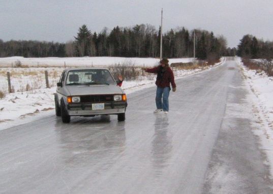
Good luck.
Highs on Wednesday may not exceed 10 below zero from Fargo, North Dakota, to Minneapolis and Chicago. Single-digits will have those from Kansas City, Missouri, to St. Louis to Cincinnati, Ohio, and Pittsburgh, AccuWeather said.
The East Coast will get only a modest reprieve – lows Wednesday night will reach 6 degrees in New York, 7 degrees in Philadelphia and a more balmy 9 degrees in Washington, D.C.
A prelude to the plunge slammed into the Upper Midwest on Sunday with temperatures reaching below zero in the morning. The low of 45-below zero in International Falls, Minnesota, smashing a record that stood for more than half a century.
...
Polar Vortex to drive record-smashing cold across much of nation
Good luck.


 I really cannot tell if you are being serious or not.