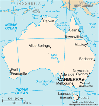
This is not about maps. The physical location of Australia has shifted. Along with almost all recorded representations.
This is a change in REALITY not a change in maps.
If you haven't experienced this you won't understand.
You do understand that all maps are based upon their creators interpretation right? It is widely known that most common maps are not fully accurate especially in relation to the size of Africa vs the rest of the world. The land mass has not move. The truth is the "new" maps style is probably just what's in vogue.
 Dido
Dido